Uganda - Geography of Uganda and Kampala Images
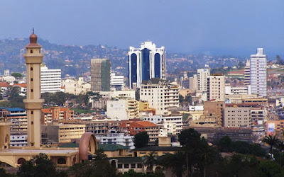
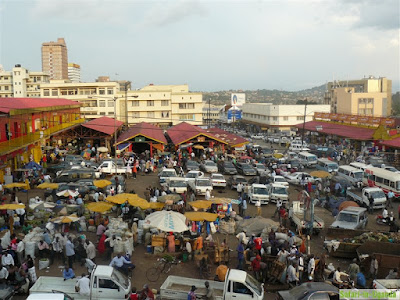
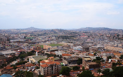
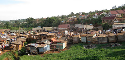
Kampala is the capital city of Uganda. With a population of 1,208,544 (2015), it is the largest city in Uganda. The city is divided into five boroughs that oversee local planning: Central, Kawempe, Makindye, Nakawa and Rubaga. | |
Kampala | |
Kampala | |
Kampala | |
Entebbe | |
Mukono Town is a municipality in Mukono District, Central Uganda. The town is administered by Mukono Town Council, an Urban Local Government within Mukono District Administration. Mukono Town has links to the English town Guildford. Mukono Town is bordered by Kalagi to the north, Kira Town to the west, Lake Victoria to the south and Lugazi to the east. It lies 27 kilometres (17 mi) east of the central business district of Kampala, Uganda's capital and largest city. The town occupies approximately 31.4 square kilometres (12.1 sq mi) of land area. The coordinates of the town of Mukono are:00 21 36N, 32 45 00E (Latitude:0.3600; Longitude:32.7500). | Mukono city |
Soroti City | Tororo City |
Uganda The Republic of Uganda is a landlocked country in East Africa, bordered on the east by Kenya, the north by Sudan, on the west by the Democratic Republic of the Congo, on the southwest by Rwanda, and on the south by Tanzania. The southern part of the country includes a substantial portion of Lake Victoria, within which it shares borders with Kenya and Tanzania. Uganda takes its name from the Buganda kingdom, which encompasses a portion of the south of the country including the capital Kampala. The country is located on the East African plateau, averaging about 1100 metres (3,250 ft) above sea level, and this slopes very steadily downwards to the Sudanese Plain to the North. However, much of the south is poorly drained, while the centre is dominated by Lake Kyoga, which is also surrounded by extensive marshy areas. Uganda lies almost completely within the Nile basin. The Victoria Nile drains from the lake into Lake Kyoga and thence into Lake Albert on the Congolese border . It then runs northwards into Sudan. One small area on the eastern edge of Uganda is drained by the Turkwel river, part of the internal drainage basin of Lake Turkana. | Entebe Entebbe is a city in Uganda. The city was, at one time, the seat of government for the Protectorate of Uganda, prior to Independence in 1962. Entebbe is the location of Entebbe International Airport, Uganda's largest commercial and military airport, best known for the dramatic rescue of 100 hostages kidnapped by the resistance group of the PFLP and Revolutionary Cells (RZ) organizations. Entebbe sits on the northern shores of Lake Victoria, Africa's largest lake. Entebbe lies at 00.04N, 32.465E. It is situated in Wakiso District, approximately 37 kilometres (23 mi), southwest of Kampala, Uganda's largest city and capital. The Municipality is located on a peninsula into Lake Victoria covering a total area of 56.2 square kilometres (21.7 sq mi), out of which 20 square kilometres (7.7 sq mi) is water. |


